SKYMAPSOLUTION
SKYMAPSOLUTION


are
We
"Transforming the way you see the world"
SKYMAPSOLUTION
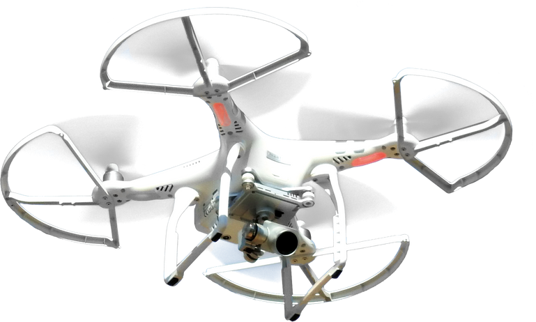
DRONE
DATA PROCESSING SKYMAPSOLUTION
"Transforming the way you see the world"
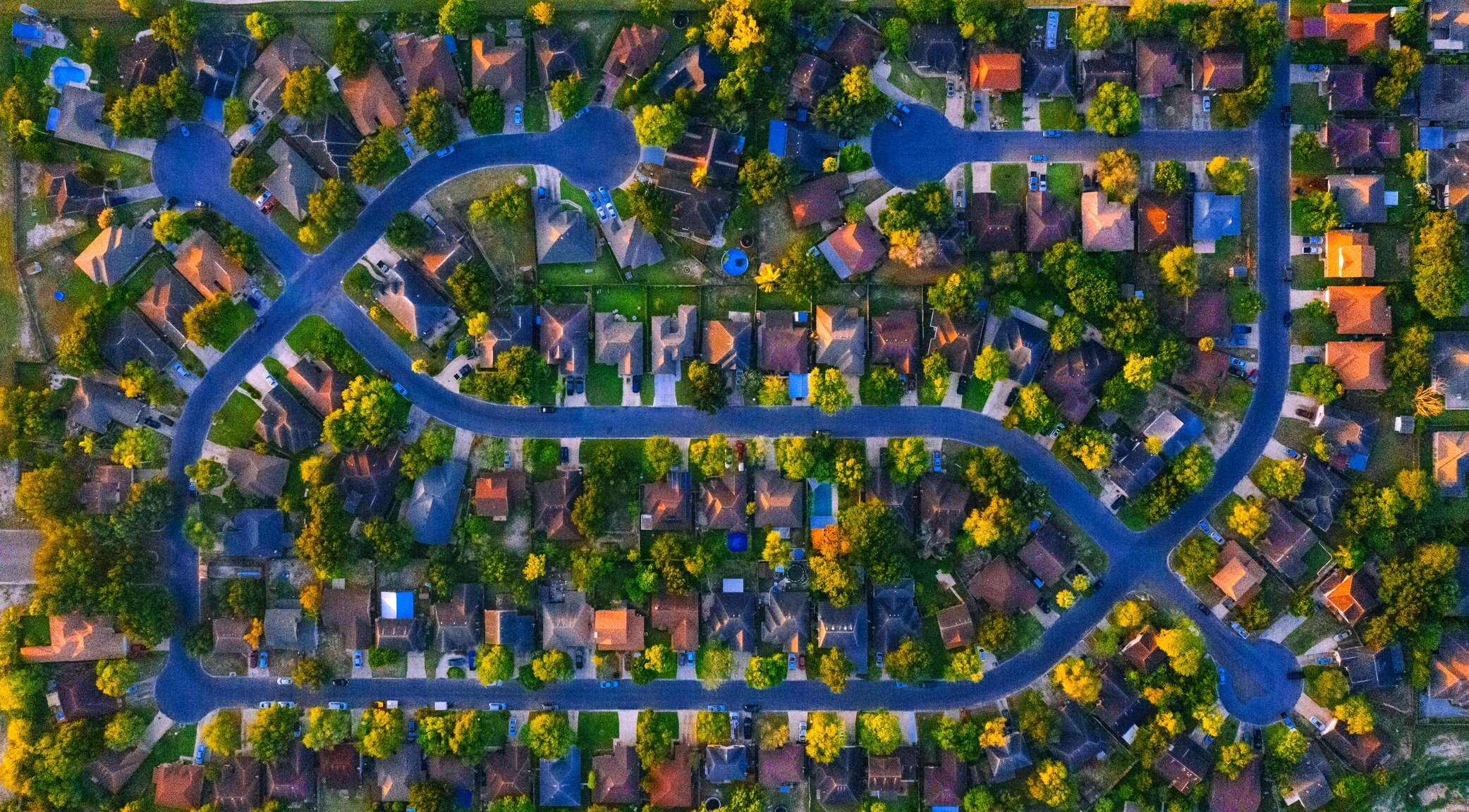
Our services include data processing for a range of UAV applications, such as surveying, mapping, and inspections. We offer a variety of data processing options, including orthomosaic generation, digital elevation modeling, point cloud generation, and more. We can also process multispectral data which providing you with valuable information about plant health and environmental monitoring.
SkyMapSolution, we are committed to providing our clients with the highest level of service and support. We offer a user-friendly interface for uploading and downloading data, as well as expert technical support to assist with any questions or issues you may encounter. We also prioritize data security, ensuring that all of your data is kept confidential and secure.
Orthomosaics
orthorectified maps.
Elevation Models
(Digital Surface Model)
Point Clouds
Elevation Models
(Digital Terrain Model)
Plant Health
NDVI, VARI, GNDVI and other
Countour
Product List
SkyMapSolution Production is our advanced software solution for UAV data processing and mapping, designed to provide accurate and efficient results for businesses and organizations across various industries. Our solution offers two options for maximum flexibility: SkyMap on Cloud and SkyMap on-premise.
SKYMAP On-Cloud
SkyMapSolution on Cloud is a cloud-based solution that allows you to process and analyze data quickly and easily from anywhere in the world. With SkyMap on Cloud, you can upload data to our secure servers, where our powerful algorithms and machine learning tools will process it into accurate and actionable insights. You can access your data and results from any device with an internet connection, making it easy to collaborate with colleagues and clients.
SKYMAP On-premise
SkyMap on-premise is a software solution that can be installed on your own servers or computing infrastructure, giving you complete control over your data and processing. With SkyMap on-premise, you can customize your data processing and mapping workflows to meet your specific needs, and you can ensure that your data is secure and compliant with your organization's policies and regulations.
SKYMAPSOLUTION

SKYMAPSOLUTION
OUR Feature
Drone Data Processing Services
Software Feature
SkyMapSolution, we specialize in providing high-quality UAV data processing and analysis services to businesses and organizations across various industries. Our services include advanced features such as orthophoto, DSM, DTM, and support for multispectral images and point cloud data.
FEATURE | ON-CLOUD | ON-PREMISE |
STORAGE
| YES YES YES YES YES (Skymapsolution) NO YES Contact YES YES YES | YES YES YES YES YES (Customize) YES YES - YES YES YES YES |

Contact us
Website: skymapsolution.com
email : skymapsolution@gmail.com